 Skip to content

What to Expect After You Call 811
Did you know that underground utility locating involves much more than simply calling 811? Many excavators mistakenly believe their responsibility ends after making this initial call. However, calling 811 merely initiates a complex process that requires careful follow-through to ensure safe excavation practices.
Every year, thousands of utility strikes occur because proper protocols weren’t followed after the 811 call. These incidents can result in service disruptions, expensive repairs, serious injuries, and even fatalities. Furthermore, most utility damages happen despite 811 being contacted, primarily due to misunderstandings about what happens after the call.
This article explores the critical steps that follow your 811 call, including submitting detailed locate requests, understanding the utility notification process, interpreting marking systems, verifying responses before digging, and maintaining safe excavation practices within tolerance zones. By following these essential procedures, you can significantly reduce the risk of damaging underground utilities during your project.
Submitting a Locate Request via 811
The proper submission of a locate request represents the foundation of effective underground utility locating. Once the decision to contact 811 has been made, excavators must provide specific information and understand the process that follows their submission. According to Common Ground Alliance data, over 35 million requests are submitted to 811 centers annually across the United States, highlighting the system’s critical role in preventing damages.
Required Information: Address, Scope, and Start Date
When submitting a locate request, excavators must provide several essential details to ensure accurate marking of underground utilities. First thing to remember, precise location information is paramount, including:
- Street address, city, county, and the exact location on the property
- Type and scope of work (trenching, drilling, etc.), affected area dimensions, and excavation method
- Proposed start date and time of the dig
- Specific directions or markings identifying the excavation area (typically white flags or paint)
The accuracy of this information directly affects the quality of the locating service. Specifically, vague descriptions or incorrect addresses can result in delayed responses or utilities being improperly marked, subsequently increasing the risk of accidental strikes.
Online vs Phone Submission: Key Differences
Excavators can submit locate requests either by calling 811 directly or through online portals, with each method offering distinct advantages. Phone submissions connect callers to a live representative who can assist with questions in real-time and help ensure all required information is provided correctly. This option proves particularly valuable for first-time users or those with complex projects.
Alternatively, online submissions offer convenience and efficiency, especially for contractors who frequently submit requests. These digital platforms typically feature user-friendly interfaces with standardized forms that guide users through the submission process. Additionally, online systems often provide options to upload site plans or images that clarify the excavation area, as well as the ability to track ticket status electronically.
Moreover, many state one-call centers now offer mobile applications that combine the benefits of both methods, allowing excavators to submit requests from the field while providing visual tools to precisely mark excavation areas on interactive maps.
Ticket Generation and Reference Number Assignment
Upon submission, the one-call center’s system processes the request and generates a locate ticket with a unique reference number. This number serves as the official identifier for the request throughout the entire process and should be recorded by the excavator for future reference.
The system then automatically determines which utility operators have infrastructure in the vicinity of the proposed dig site through GIS mapping technology that correlates utility service areas with the excavation location. As a result, each affected utility operator receives notification containing:
- The unique ticket reference number
- The dig site location and detailed description
- A response deadline based on local statutes (typically 2–3 business days)
This notification process essentially transforms the excavator’s simple request into a coordinated multi-utility response operation. At this point, excavators should not proceed with digging until receiving confirmation that all utilities have responded to the ticket, either by marking lines or providing “no conflict” notifications.
Utility Notification and Mapping Process
Once a locate ticket is generated, a sophisticated notification process begins, connecting excavators with relevant utility operators. This critical phase of underground utility locating ensures that all affected infrastructure owners receive timely alerts about planned excavation activities in their service areas.
GIS-Based Utility Notification System
Modern utility notification systems rely heavily on Geographic Information System (GIS) technology to efficiently manage the complex web of underground infrastructure. Once processed, the locate request is automatically routed through a digital mapping system that precisely identifies which utility operators have assets near the proposed excavation site.
The GIS technology works by overlaying multiple data layers that include:
- Digital maps of utility service territories
- Infrastructure network diagrams
- Property boundaries and rights-of-way
- Historical excavation records
- Public land records
This mapping correlation ensures that notifications are sent only to relevant utilities, reducing unnecessary responses while maximizing protection for buried infrastructure. Indeed, the system’s accuracy depends largely on the quality of GIS data maintained by both one-call centers and individual utility operators.
Behind the scenes, each notification contains essential details that allow utilities to prioritize and respond appropriately:
- The unique ticket reference number
- Precise dig site coordinates and description
- Excavation method and project scope
- Scheduled start date and time
- Contact information for the excavator
- Response deadline based on local regulations
The system maintains a digital record of all notifications, creating an audit trail that can be crucial if disputes or damages occur later. Consequently, this automated notification process transforms what was once a manual, time-consuming task into an efficient, data-driven operation.
Deadline for Utility Response (2–3 Business Days)
Upon receiving notification, utility companies typically have 2–3 business days to respond to the locate request, though this timeframe varies slightly by state. This standardized response window balances the needs of excavators to maintain project schedules with the time required for utilities to safely and accurately mark their infrastructure.
Throughout this waiting period, utilities dispatch locating technicians to the field who use specialized equipment to detect and mark underground lines. In parallel, utility records are reviewed to confirm the presence or absence of facilities in the designated area.
For excavators, this waiting period is mandatory—not optional. Digging before the expiration of this timeframe violates regulations in all states and significantly increases the risk of damaging underground utilities. Nevertheless, in cases of emergencies involving immediate threats to life, health, property, or essential services, expedited responses may be available.
It’s worth noting that the 2–3 day timeframe refers to business days, not calendar days. Therefore, weekends and holidays do not count toward the response deadline. To avoid project delays, excavators should account for this when planning work schedules, particularly for projects starting early in the week or after holidays.
By the end of this response period, every notified utility must provide one of several possible responses, including marked facilities, “no conflict” clearances, or requests for additional time. The next critical step falls to the excavator: verifying these responses before breaking ground.
Utility Marking and APWA Color Code Standards
After utilities receive notification about planned excavation, field technicians begin the crucial process of physically marking underground infrastructure at the dig site. This marking phase represents the visible manifestation of the locate process and provides excavators with a map of what lies beneath the surface.
On-Site Marking with Paint, Flags, or Stakes
Once dispatched to the excavation site, locating technicians employ specialized equipment to detect underground utilities. Upon identifying buried infrastructure, they apply physical markers to indicate the approximate horizontal location of subsurface lines. In practice, technicians typically use three primary marking methods:
- Spray paint: Applied directly on paved surfaces or ground, providing clear visibility
- Flags: Small, color-coded flags inserted into soil in unpaved areas
- Stakes: Used in rural locations or areas where more permanent marking is needed
Beyond basic horizontal marking, technicians often include additional information such as utility identifiers, the width of facilities, or depth indications where applicable. Throughout this process, accuracy remains paramount—each mark serves as a critical safety guide for excavators.
APWA Uniform Color Code for Utility Types
The American Public Works Association (APWA) has established a standardized Uniform Color Code system that assigns specific colors to different utility types. This universal color-coding creates consistency across the industry and eliminates confusion among excavators. The complete APWA color code system includes:
| Color | Utility Type |
| Red | Electric power lines |
| Yellow | Gas, oil, steam |
| Blue | Potable water |
| Green | Sewer, drain lines |
| Orange | Communication cables |
| Purple | Reclaimed water |
| Pink | Survey markings |
| White | Proposed excavation |
For each utility type, the corresponding color creates an immediate visual identification system. White markings are particularly important as they designate the proposed excavation area—often created by the excavator before submitting the 811 request. In addition to color coding, locators may add utility-specific symbols or abbreviations to provide even greater clarity.
No Conflict Responses and Site Clearance
Not all utility notifications result in physical markings. After confirming their records, if a utility determines they have no facilities within the proposed dig zone, they issue a “no conflict” response. This clearance is equally important as a physical marking because it officially confirms the absence of that utility’s infrastructure in the work area.
Utilities deliver no conflict responses through various methods:
- Direct communication to the excavator
- Updates to the positive response system
- Electronic notification through the one-call center
- Site visits with verbal confirmation
Every notified utility must respond in some form—either by marking their lines or by issuing a no conflict notification. A comprehensive site clearance occurs only when all notified utilities have responded accordingly. Failure to obtain responses from every utility creates a dangerous scenario where the excavator may mistakenly assume an area is clear of all infrastructure.
Many states operate positive response systems that allow excavators to track utility responses in real-time. These systems document which utilities have marked their lines, which have issued no conflict responses, and which have yet to respond. By following these confirmation procedures diligently, excavators fulfill their responsibility to verify all responses before breaking ground.
Excavator Verification and Positive Response Systems
Verification represents the vital link between utility marking and safe excavation. Between marking completion and breaking ground, excavators must confirm that every utility has responded to their locate request. This crucial step, often overlooked, prevents accidental strikes and potential legal consequences.
How to Check Utility Responses Before Digging
Most states implement positive response systems that enable excavators to track utility responses electronically. These systems offer real-time status updates on locate tickets through:
- Online portals accessible via web browsers
- Mobile applications linked to state one-call centers
- Automated email or text notifications
- Direct communication from utility representatives
Before accessing these systems, excavators should have their ticket reference number ready. The verification process typically involves logging into the appropriate platform, entering the ticket number, and reviewing the status of each notified utility. Beyond digital verification, field confirmation remains valuable—physically inspecting the site to ensure marking consistency with expected utilities in the area.
Common Response Types: Marked, Delayed, No Conflict
When checking utility responses, excavators will encounter several standard response categories:
| Response Type | Meaning | Action Required |
| Marked | Utility present and marked | Observe markings and tolerance zones |
| No Conflict | No facilities in dig area | Safe to proceed in this utility’s area |
| Delayed | Additional time needed | Wait for completion before digging |
| Site Meeting | Complex situation requiring discussion | Attend scheduled meeting |
Interestingly, a complete site verification occurs only when every utility has provided a definitive response. Unfortunately, incomplete responses create dangerous scenarios where excavators might incorrectly assume an unmarked area is utility-free. Prior to any excavation, obtain confirmation from all utilities—not just some.
Legal Requirement to Confirm All Responses
Although specific regulations vary by state, verification is increasingly becoming a legal requirement rather than merely a recommendation. Proceeding with excavation without confirming all utility responses can result in:
- Civil penalties and fines
- Personal liability for damages
- Project shutdowns and delays
- Criminal charges in cases involving injury
Traditionally, compliance has been monitored by state-level entities such as public utility commissions or pipeline safety divisions. These authorities can investigate complaints and impose sanctions on excavators who fail to follow proper verification procedures.
Notably, proper documentation of verification efforts provides valuable protection if disputes arise later. Aside from legal compliance, verification serves as an essential risk management practice—the final safety check before mechanical excavation begins.
Safe Excavation Within Tolerance Zones
After marking and verification come the most crucial phase of underground utility locating—working safely around the marked lines. Tolerance zones create protected areas around marked utilities where extra caution must be exercised to prevent accidental damage.
Definition and Width of Tolerance Zones by State
A tolerance zone is a safety buffer surrounding the marked location of underground utilities. Since utility markings indicate only the approximate horizontal position of buried infrastructure, these zones provide margin for error. Tolerance zones typically extend 18–24 inches on either side of the marked utility line, creating a protected corridor where mechanical excavation is prohibited.
Width requirements vary across jurisdictions:
- 18 inches: Required in some states
- 24 inches: Required in most states
- 30+ inches: Required for high-pressure pipelines in certain regions
Once utilities have been marked, these zones become legally protected areas where standard excavation equipment cannot operate. In fact, many utilities are damaged by excavators who technically have markings but fail to recognize the importance of these safety buffers.
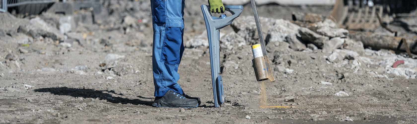
Hand Digging and Vacuum Excavation Requirements
Within tolerance zones, excavators must abandon mechanical equipment in favor of non-destructive methods. The two primary approved techniques include:
- Hand digging: Using manual tools like shovels to carefully expose buried utilities
- Vacuum excavation: Employing specialized equipment that uses high-pressure air or water to safely break up soil while a vacuum system removes the debris
Alongside these methods, excavators must maintain visual identification of the exposed facility throughout the digging process to prevent accidental contact. Ultimately, the goal is to precisely locate the utility’s actual position before using mechanical equipment nearby.
Consequences of Violating Tolerance Zones
Disregarding tolerance zone requirements carries substantial risks and penalties. Documented consequences include:
- Civil penalties: Monetary fines imposed by regulatory authorities
- Criminal liability: Potential charges, especially in cases involving injury
- Repair costs: Financial responsibility for damaged infrastructure
- Project delays: Work stoppages during investigations and repairs
- Insurance claims: Increased premiums and potential coverage issues
Above all, safety remains the primary concern—line strikes within tolerance zones have resulted in worker fatalities, community evacuations, and extensive property damage. State-level entities including public utilities commissions actively enforce these regulations through investigation of damage incidents and regular compliance monitoring.
Conclusion
Underground utility locating extends far beyond the initial 811 call. Throughout this article, we’ve explored the comprehensive process that safeguards both infrastructure and lives during excavation projects. Certainly, understanding each phase—from proper ticket submission to rigorous compliance with tolerance zones—creates a foundation for damage prevention.
Most importantly, excavators must recognize that responsibility continues after utility marking occurs. Despite having colorful paint lines and flags at a dig site, verification of all utility responses remains essential before breaking ground. Additionally, the standardized APWA color code system provides crucial visual guidance about what lies beneath the surface, though these markings represent approximate locations rather than precise positions.
The waiting period after notification serves a critical purpose, allowing utility operators sufficient time to accurately locate and mark their infrastructure. Therefore, patience during this phase directly correlates with safety outcomes. Excavators who bypass verification requirements or ignore tolerance zone restrictions face serious consequences, including financial penalties, legal liability, and potentially catastrophic safety incidents.
Safe excavation practices ultimately protect communities, workers, and essential services. Hand digging or vacuum excavation within tolerance zones might require additional time and effort, yet these precautions prevent countless utility strikes annually. The comprehensive underground utility locating process—beginning with an 811 call but encompassing much more—creates a systematic approach to excavation safety that benefits everyone involved.